


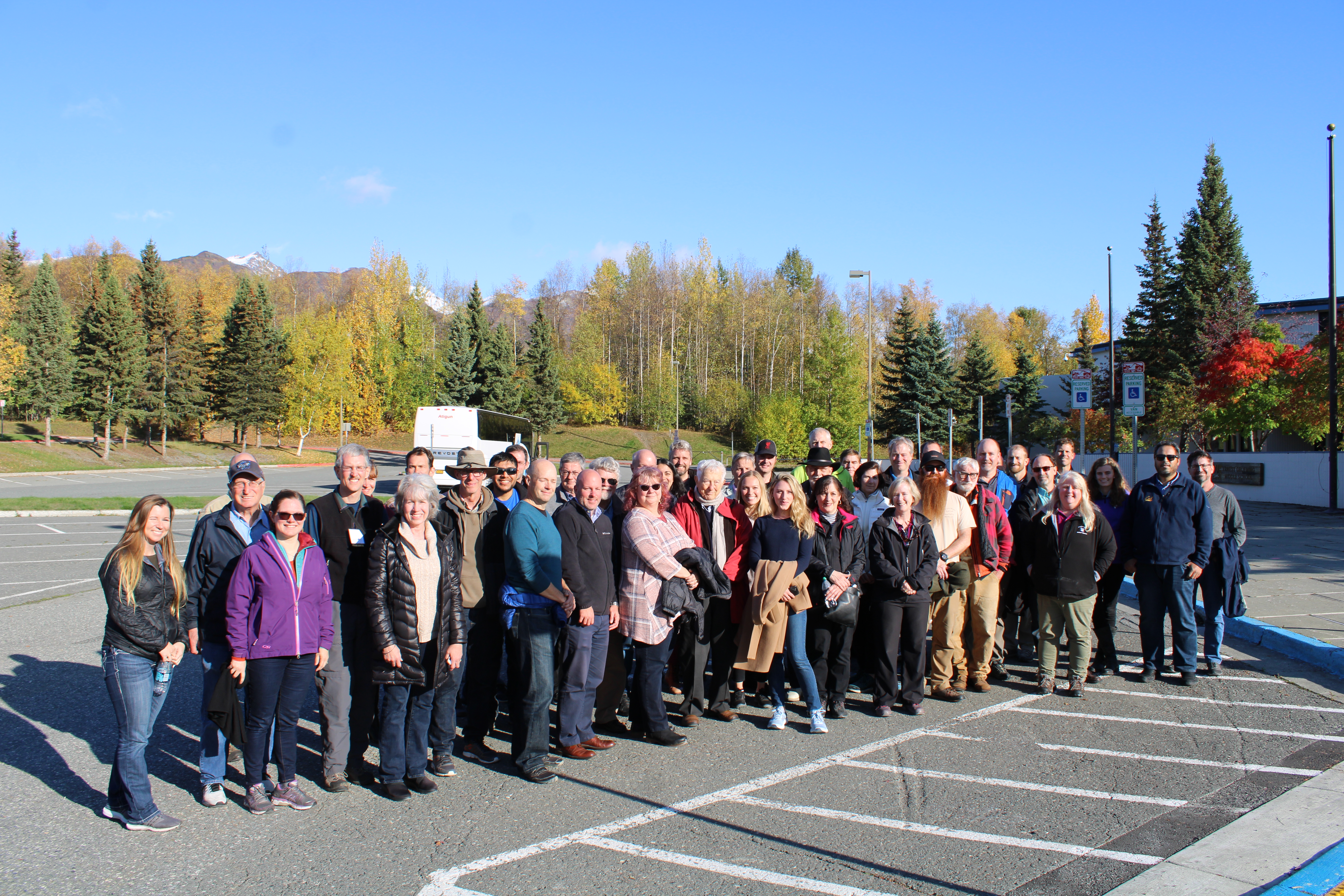
The Alaska Earthquake Center’s mission of monitoring, research, and public engagement relies on, and serves, many different partners.
Our earthquake monitoring mission is carried out under the auspices of the Advanced National Seismic System. The ANSS, coordinated by the U.S. Geological Survey, unites the nation’s various earthquake reporting efforts under a unified framework. Our data and observations are streamed to the ANSS where, in cooperation with the National Earthquake Information Center, they are accessible openly to the public and serve a variety of users, from engineers, insurance companies, and researchers to teachers and app developers. Our records of strong earthquake shaking are contributed to the National Strong Motion Program.
At the state level, our activities are carried out under the authority of Alaska Statute 14.40.075. The Alaska Seismic Hazards Safety Commissions, the Alaska Division of Geological and Geophysical Surveys, and the Alaska Division of Homeland Security and Emergency Management provide critical input on state needs and priorities.
Among our largest earthquake risks are the tsunamis that on rare occasions have proven catastrophic in coastal Alaska. We have several efforts focused on better preparing Alaska for tsunamis. We partner with the National Tsunami Warning Center, contributing much of the Alaska data they use in rapid detection as part of their tsunami warning mission. For more than two decades we have carried out community-specific tsunami research in partnership with the National Tsunami Hazard Mitigation Program. This effort has allowed us to produce practical public-facing tsunami tools, such as tsunami.alaska.edu, and materials.

We partner with a number of facilities and development projects to provide targeted research and monitoring. The goal of these projects is to monitor how the ground shakes during earthquakes, and to provide rapid assessment and notification of shaking when it occurs. Partners in this effort include the Alaska Energy Authority, Alyeska Pipeline Service Company, Donlin Gold, the Missile Defense Agency, Lawrence Livermore National Lab, and the Alaska Gasline Development Corporation.
To support the academic community, we partner with research organizations including the Incorporated Research Institutions for Seismology (IRIS), UNAVCO, and the International Seismological Centre. These organizations help disseminate our data, partner with us on field maintenance, and maintain a variety of programs that highlight and stimulate research in the Alaska region.
The Alaska Earthquake Center has a decades-long history with the Alaska Volcano Observatory. The observatory contributes critical seismic and geodetic data in the Aleutians, and the Earthquake Center provides regional-scale monitoring, useful when eruptions occur at unmonitored volcanoes.
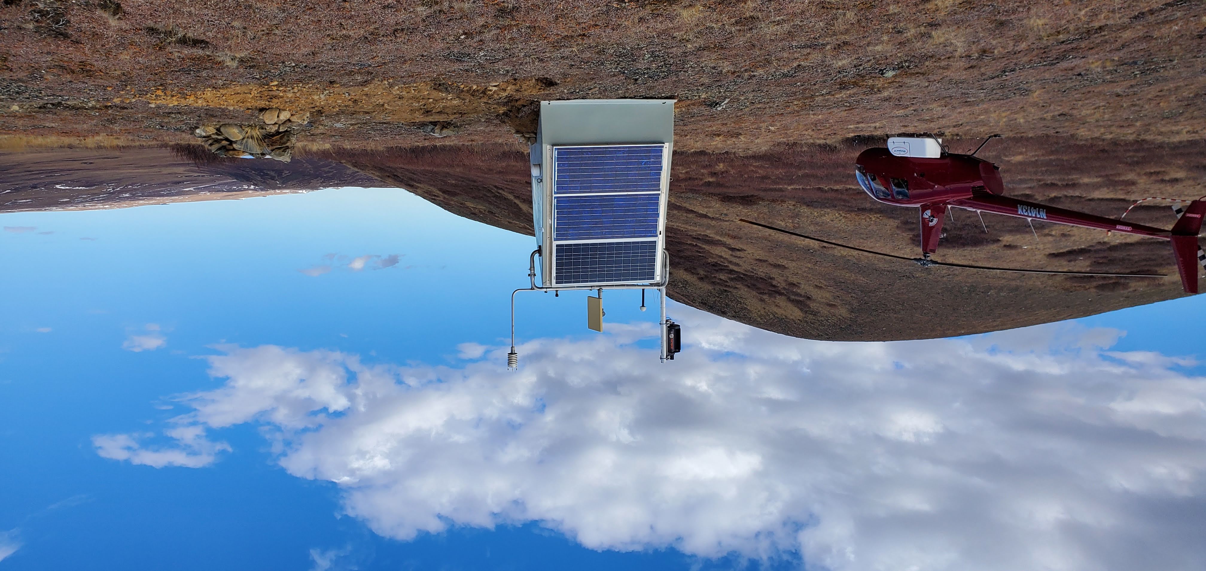
The seismic network we operate includes many difficult-to-reach corners of the state. We have recently partnered to expand the network into other types of data. Together with the Alaska Climate Research Center we are serving meteorological data to the National Mesonet Program. Under support from the National Science Foundation we have embarked on a several-year effort to use seismic, meteorological, infrasound, and soil temperature data to track environmental change in the Arctic.
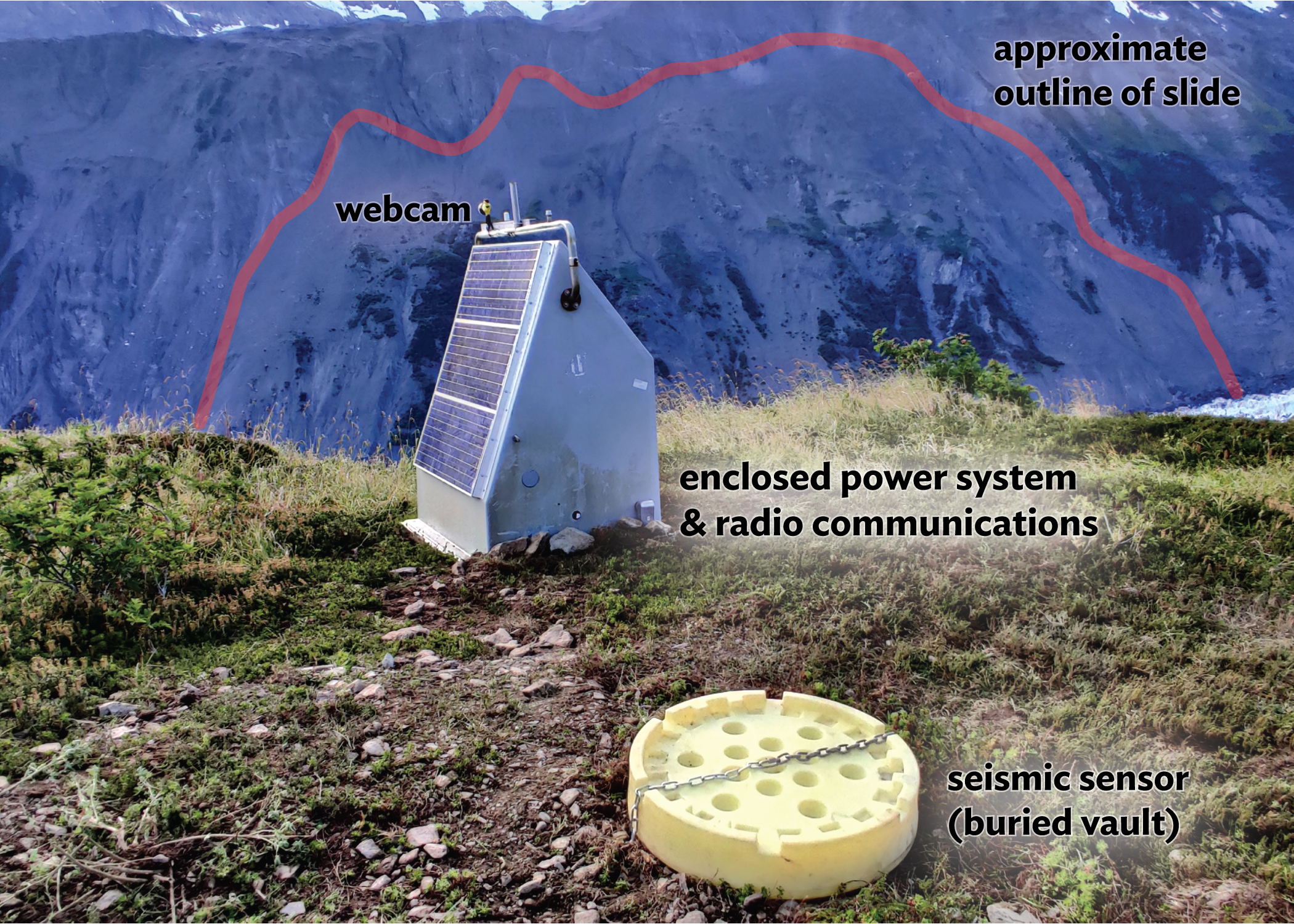
New applications for the center’s geophysical observations arise routinely. Recent multi-agency efforts to track potential landslide tsunamis, such as the threat posed by Barry Arm, are an example of new partnerships that build on the center’s history and evolving capabilities.