No data in Json
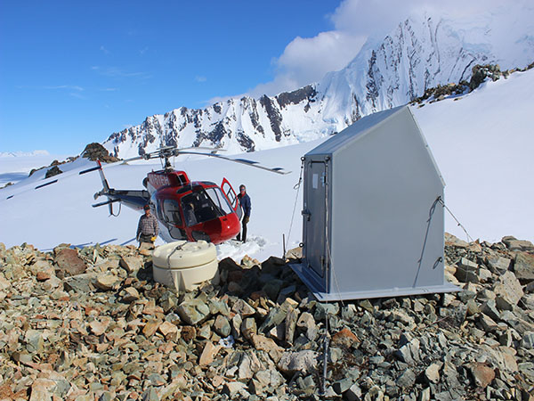
BAGL overlooks the massive, 3,000-foot-deep Bagley Icefield in Wrangell-St. Elias National Park. BAGL was installed in 2006 as part of the SainT Elias Erosion/tectonics Project (STEEP). Funded by the National Science Foundation, the project ended in 2012. This site is generously hosted by our partners at the National Park Service.