


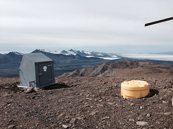
BARK
Barkley Ridge, AK, USA
Operated by: Alaska Earthquake CenterLatitude: 60.403 N
Longitude: -142.4931 W
Elevation: 4559.0 feet (1389.6 meters)
Installed: 2005
Instrumentation at this station includes:
broadband seismometer
BARK lies 4 miles southwest of Mount Miller, overlooking the Bering Glacier. This site was installed in 2005 as part of the SainT Elias Erosion/tectonics Project (STEEP). Funded by the National Science Foundation, the project ended in 2012. BARK is generously hosted by our partners at the Alaska Department of Natural Resources.
The Last 24-Hours
UTC times are 9 hours ahead of Alaska time (8 hrs during daylight savings). Seismogram view is courtesy of the IRIS Data Management Center. For additional views of this stations data:
4-day seismogram4-day long-term spectogram
noise PDF viewer