




Since 1998, the Alaska Earthquake Center has partnered with the Alaska Division of Geological and Geophysical Surveys and the Alaska Division of Homeland Security and Emergency Management to make our coastal communities safer by providing state and local officials with the best possible information for addressing the tsunami hazards faced by their communities.
This work has been funded over decades by the National Tsunami Hazard Mitigation Program, NOAA's Cooperative Institute program, and the Office of the Alaska State Seismologist.
We tackle community safety through the resources below. At tsunami.alaska.edu, you can find which resources are available for each community listed.
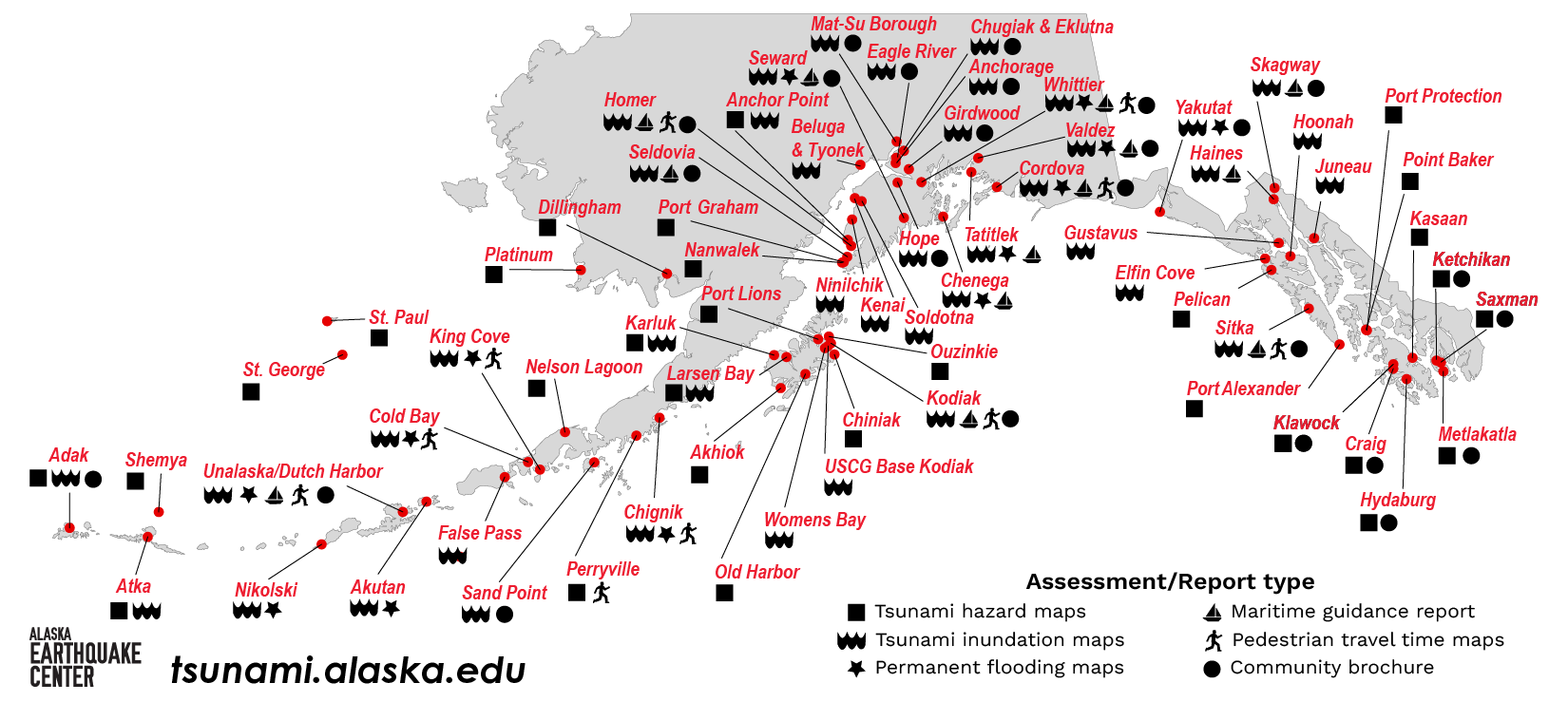
Inundation Maps and Reports
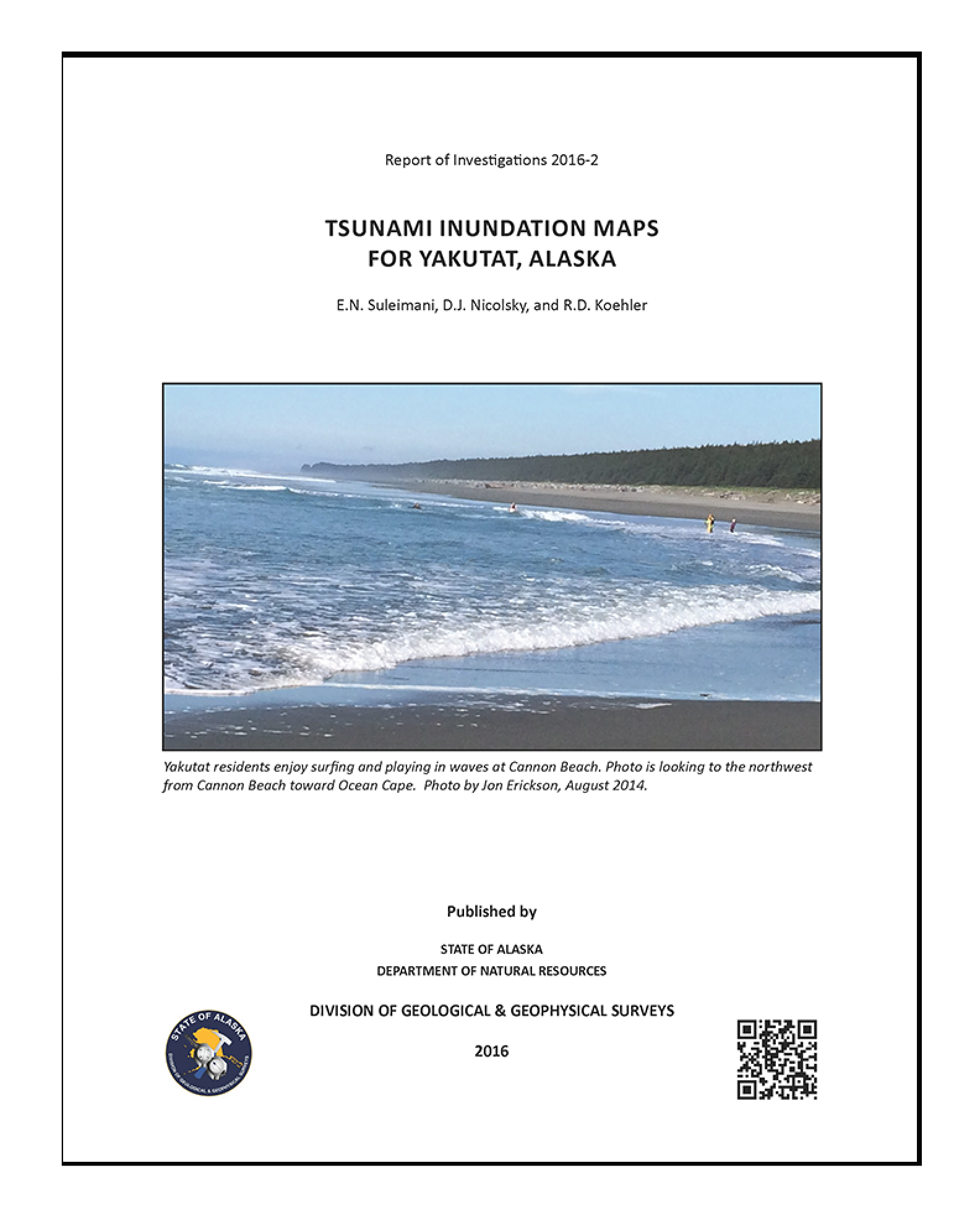 In partnership with the Alaska Division of Geological and Geophysical Surveys and the Alaska Division of Homeland Security and Emergency Management, we evaluate and map potential inundation using numerical modeling of tsunami wave dynamics.
Communities are selected with consideration to their tsunami hazard exposure, location, infrastructure, availability of data, and willingness to incorporate the results into a hazard mitigation plan. The maps incorporate the best tsunami science available at the time of publication.
Know Your Tsunami Hazard Community Brochures
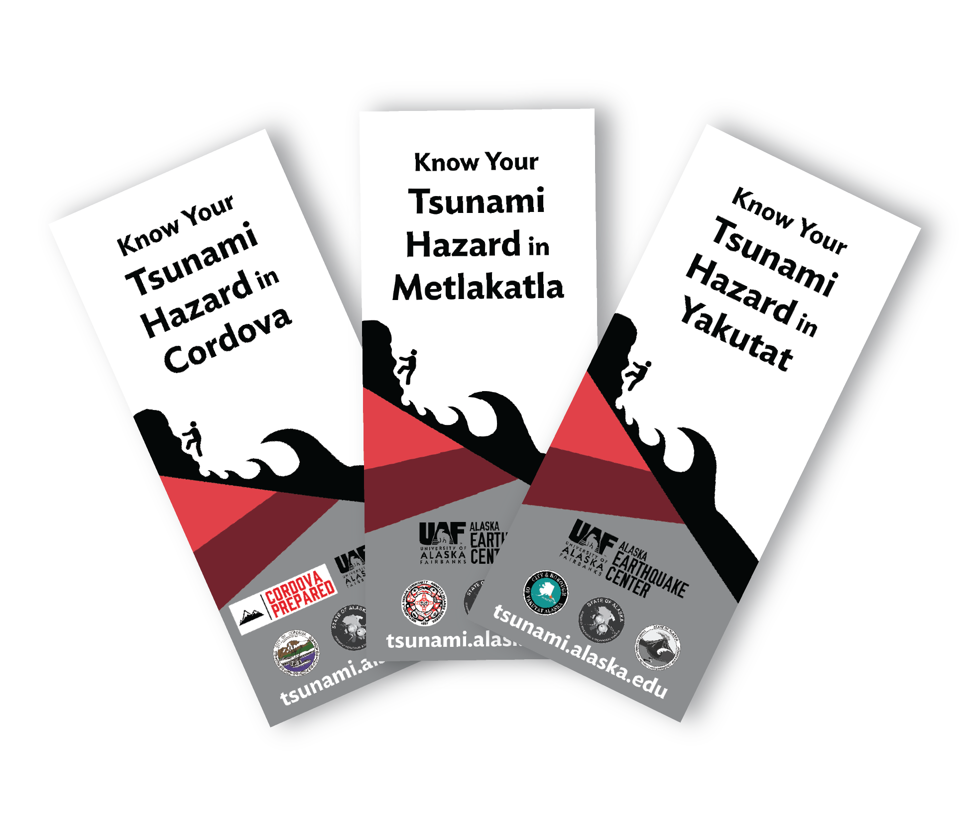 These community-specific brochures distill information from the scientific inundation, pedestrian travel time, and maritime response guidance reports into a handy, quick reference. The brochures include maps with community-designated safety information, as well as links for local and statewide tsunami preparedness information. The brochures are rack-card size for easy display, and a great safety resource for both locals and visitors.
The Earthquake Center partners with the Alaska Division of Homeland Security and Emergency Management and each community to create the brochures, tailoring the map, safety contact information, and historical information to each location.
This project is ongoing.
Maritime Response Guidance
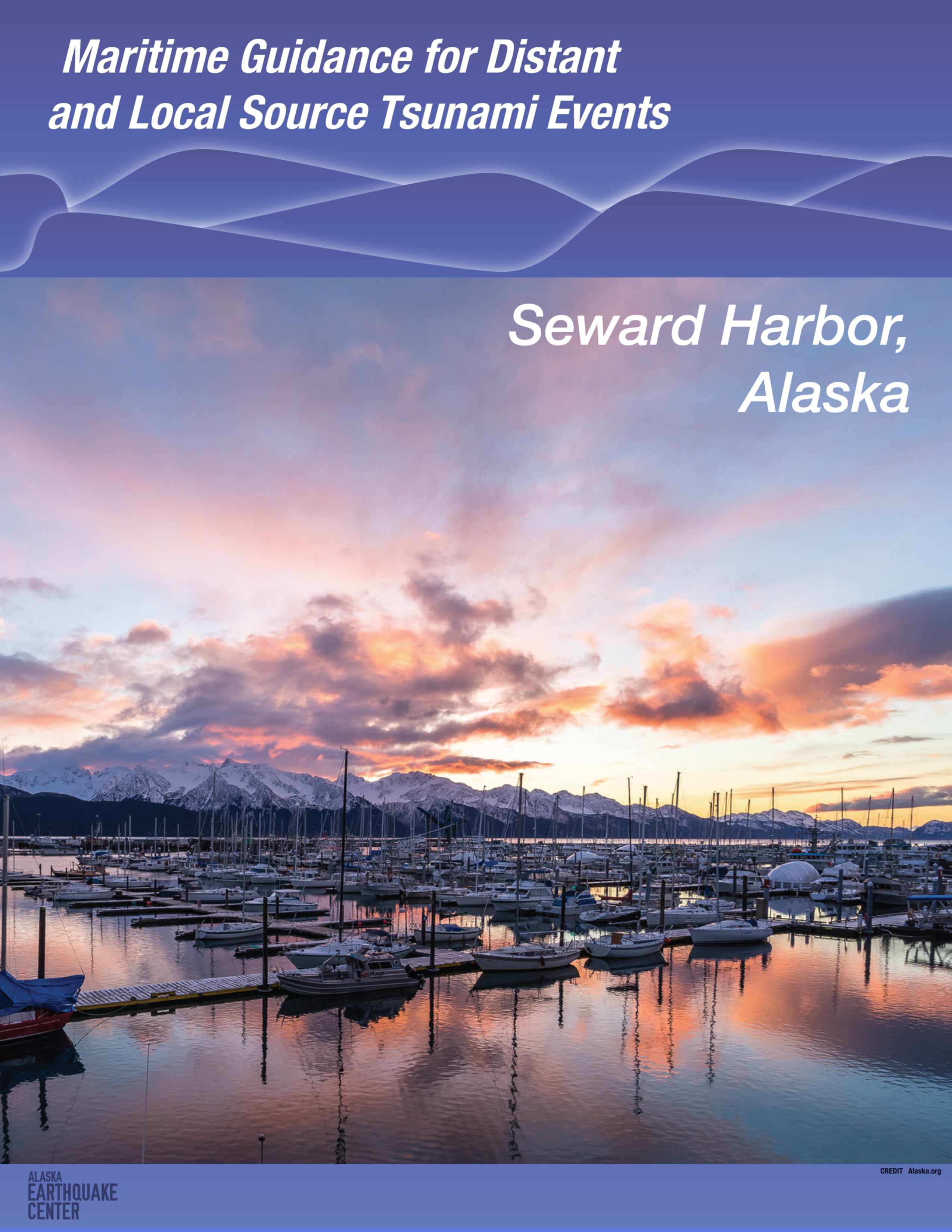 These reports provide tsunami response guidance for small vessels, such as recreational sailing and motor vessels or commercial fishing vessels. The reports follow the draft guidance developed by the National Tsunami Hazard Mitigation Program and are based on anticipated effects from potential worst-case scenarios involving distant and local tsunamis.
We considered local tsunamis as those originating along the Alaska-Aleutian subduction zone, such as in the Gulf of Alaska or across Kodiak Island. Local tsunamis are extremely dangerous because the first wave can arrive just minutes after the first earthquake shock.
This guidance only considers tsunamis caused by earthquake-induced ocean bottom movements. We do not consider tsunamis generated by any landslides, although the information included in the guidance documents could be useful to mitigate those impacts as well.
Pedestrian Travel Time Maps
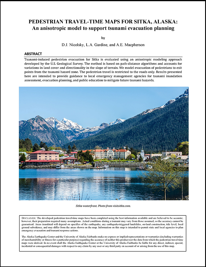 For communities that have well-defined tsunami scenarios, it is possible to estimate the amount of time required to evacuate to high ground. These models assume evacuation by foot and include complications such as ground cover, steep terrain, and other barriers identified by the community. The full methodology is described in this overview white paper.
Permanent Flooding Maps
Tsunami researchers examine historical earthquakes and study geologic records from prehistoric tsunamis to develop maximum credible earthquake and tsunami scenarios. The permanent flooding maps focus on near-shore dry land that may subside during the earthquake and be prone to flooding. This information is visualized in maps showing potential permanent flood zones to help communities make informed decisions.
The permanent flooding maps are part of the community inundation reports funded by the National Weather Service and National Oceanic and Atmospheric Administration through the National Tsunami Hazard Mitigation Program.