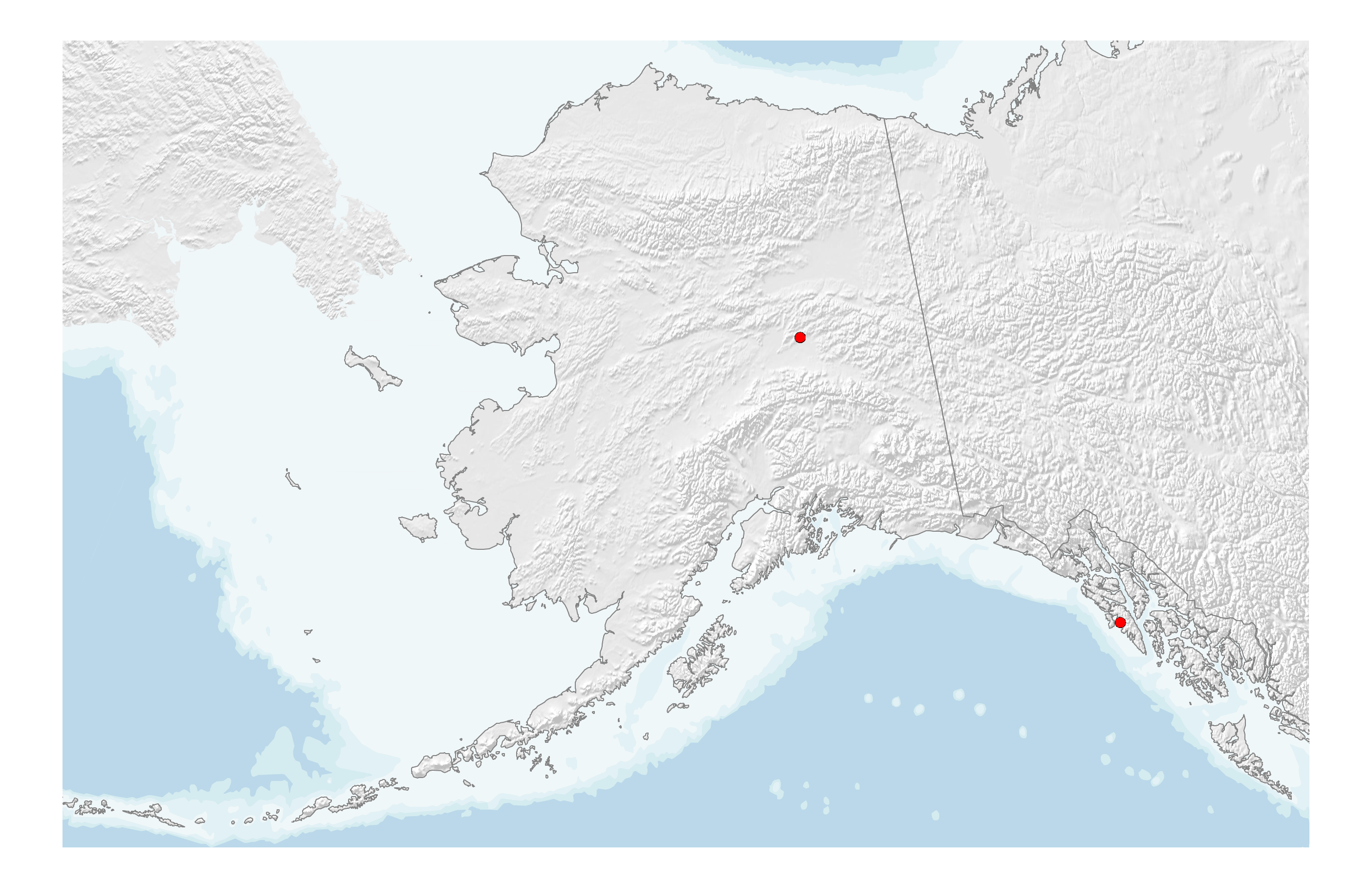
The first seismic station in Alaska was installed at the Astronomical Observatory in Sitka in 1904. In 1935, a second seismic station was installed near Fairbanks as a cooperative project between the U.S. Coast and Geodetic Survey and the University of Alaska. They remained the only installations in the state until after the 1964 Great Alaska earthquake.
By the mid-1970s, the USGS had established a network of about 40 stations in the southern part of the state. At the same time, the UAF Geophysical institute expanded to a network of about 50 sensors across the state and NOAA’s Tsunami Warning Center installed about a dozen evenly distributed sites.
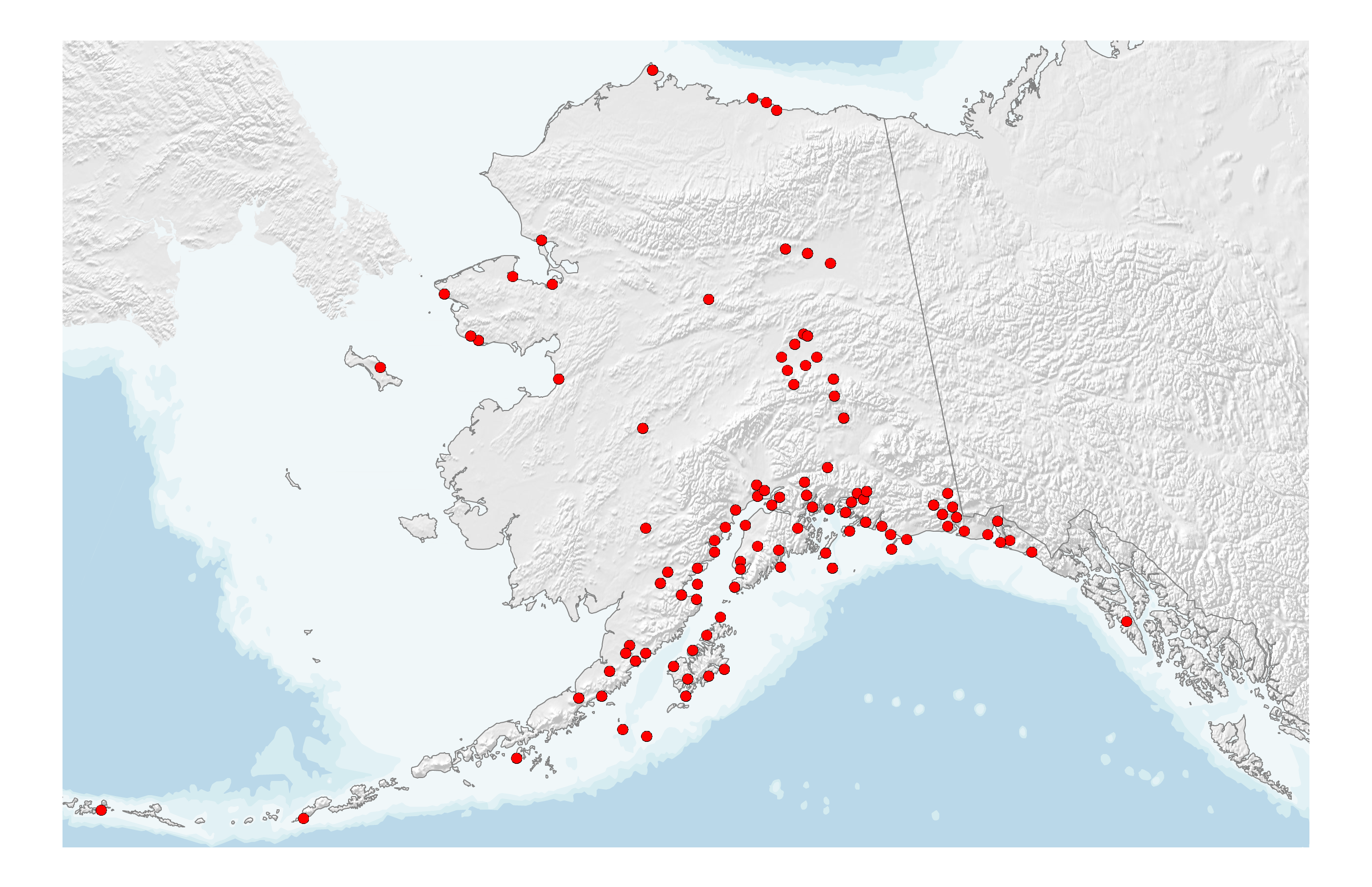
The Alaska Earthquake Center was formalized in 1987 via Alaska Statute 14.40.075 with the charge to collect, record, process, and archive seismic data on earthquakes; conduct seismological studies; and to inform public officials, industry, and private citizens of potential earthquake risks. The Alaska Volcano Observatory (AVO) was established with a volcano focused charge around the same time and cooperative sharing of station data began.
AVO gradually expanded its seismic instrumentation efforts from Cook Inlet and the Alaska Peninsula into the eastern and western Aleutian Islands during the mid-1990s and mid-2000s, respectively.
The Earthquake Center has seen several periods of expansion tied to major projects. The establishment of the Consolidated Reporting of Earthquakes and Tsunamis (CREST) network for tsunamigenic earthquake monitoring in 1997 began as a partnership between the five western states to enhance the quality and quantity of seismic data reported to the tsunami warning centers in Alaska and Hawaii. Eighteen new sites were added.
During the 2000s, the network saw expansions in Wrangell–Saint Elias National Park following the St. Elias Erosion and Tectonics Project (STEEP), which started in 2006, of approximately 20 new stations and dedicated instrumentation along the Trans-Alaska Pipeline System. Along with new installations, a transition to high-quality digital broadband instrumentation was bolstered by state investment, tsunami-driven appropriations, and Advanced National Seismic System (ANSS) upgrades during the American Recovery and Reinvestment Act period. The Center also began using all available regional real-time data including data from western Canada via a data exchange agreement with Natural Resources Canada.
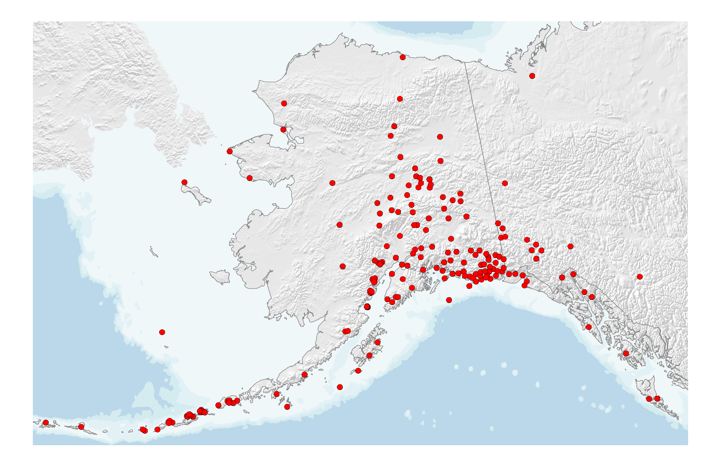
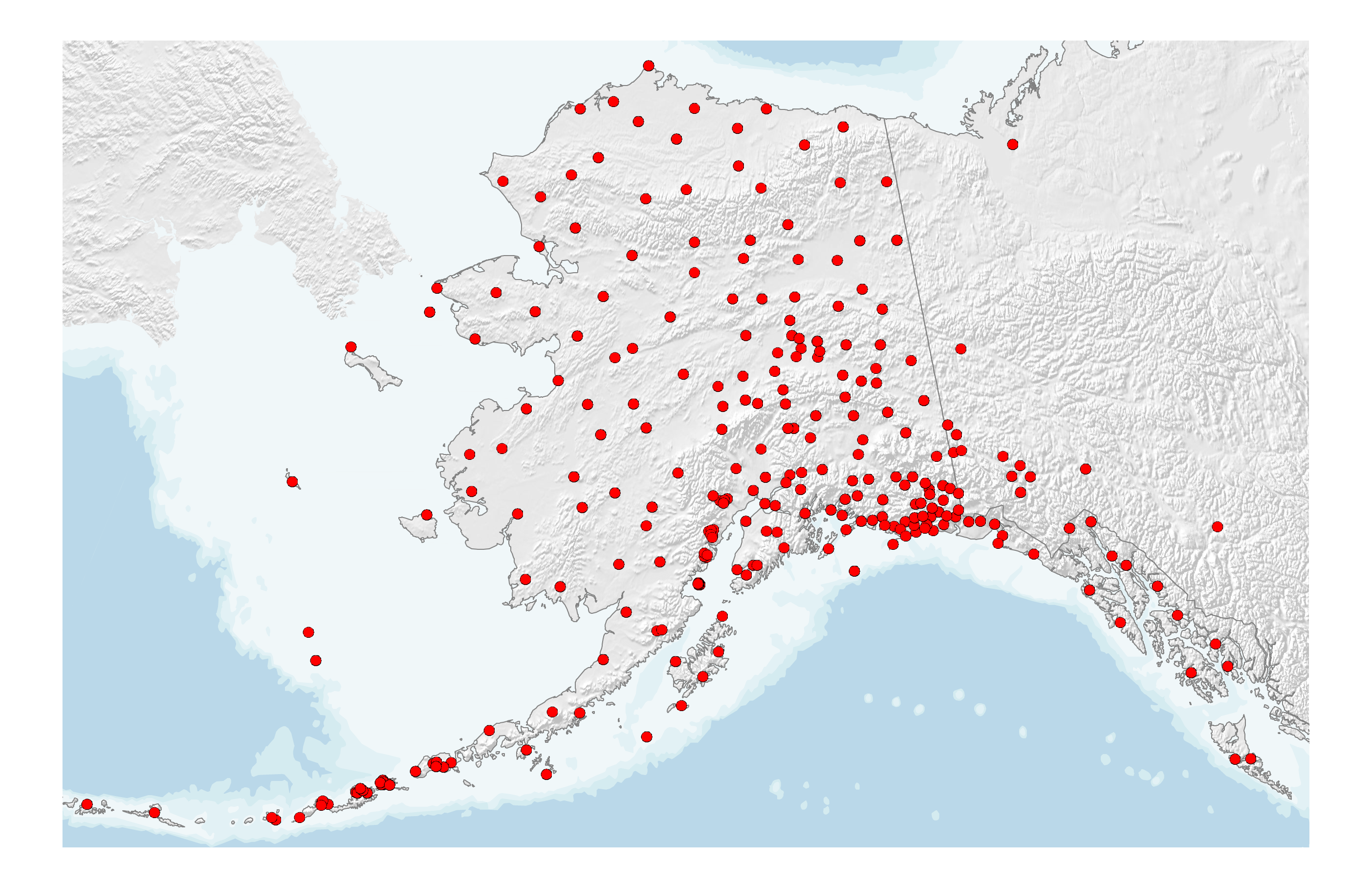
The Alaska portion of the National Science Foundation USArray Project began in 2014, dramatically changing the statewide coverage by installing 197 new sites in mainland Alaska, southeast Alaska, and western Canada (15 sites in 2014, 32 sites in 2015, 70 sites in 2016, and 80 sites in 2017). Site locations were purposefully selected to follow a uniform grid with an ∼85 km station spacing. If there was an existing seismic station within the area proposed for a new station, the existing site was upgraded with new vaults, sensors, and/or dataloggers to improve data quality.
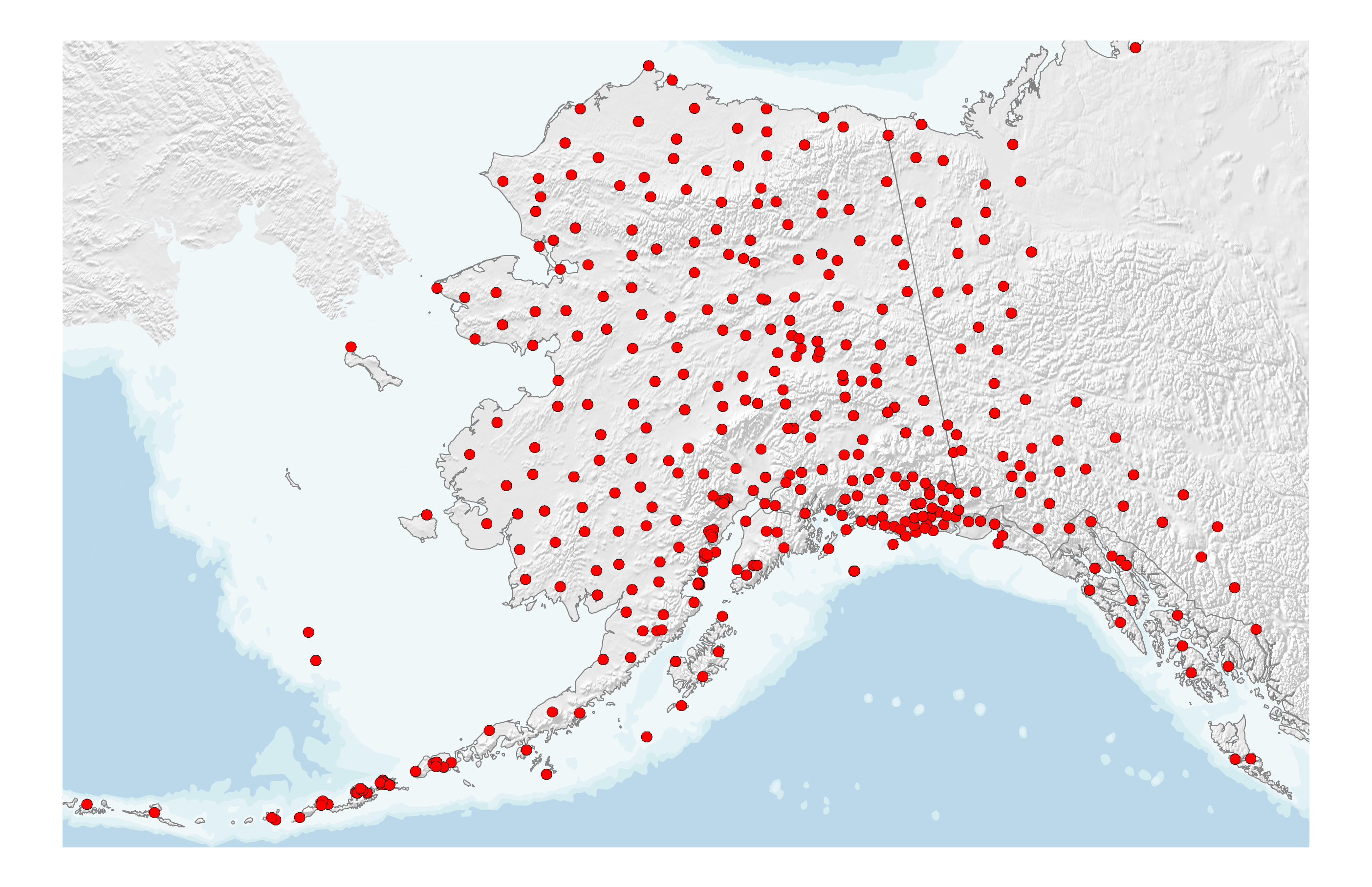
During 2019-2020, the Earthquake Center underwent an unprecedented expansion of our permanent seismic monitoring network. We were able to achieve it by acquiring 96 of the temporary USArray sites. The adoption process began in the fall of 2019 with 43 sites located in Southcentral and Southeast Alaska. This effort was made possible through strong support from the U.S. Geological Survey and backing from Alaska's congressional delegation. After this initial adoption, eight more sites were added in the winter of 2019 and spring of 2020. Four of these sites were co-located with larger geophysical observatories and were given to us free of charge to enhance the existing facilities. The final 45 sites, located across the northern and western portions of the state, formally transitioned over in summer of 2020 through a program affiliated with the National Science Foundation Arctic Observing Network Program.
Today, the portion of the monitoring network operated by the Earthquake Center is 100% digital broadband and/or strong motion. Until very recently, the majority of AVO instrumentation was short period and analog. This is changing rapidly now, however, with AVO replacing outdated analog equipment with digital broadband technologies.