
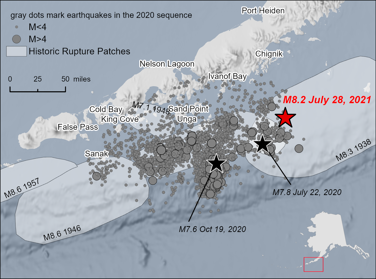
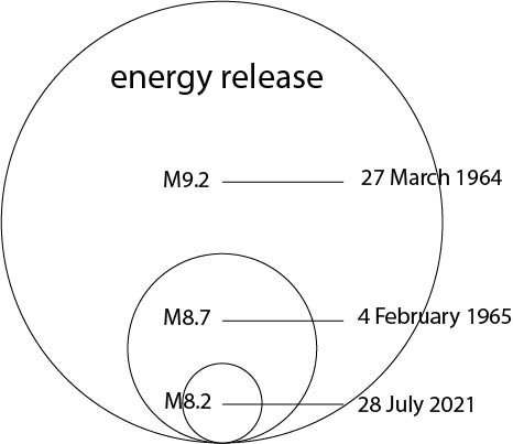
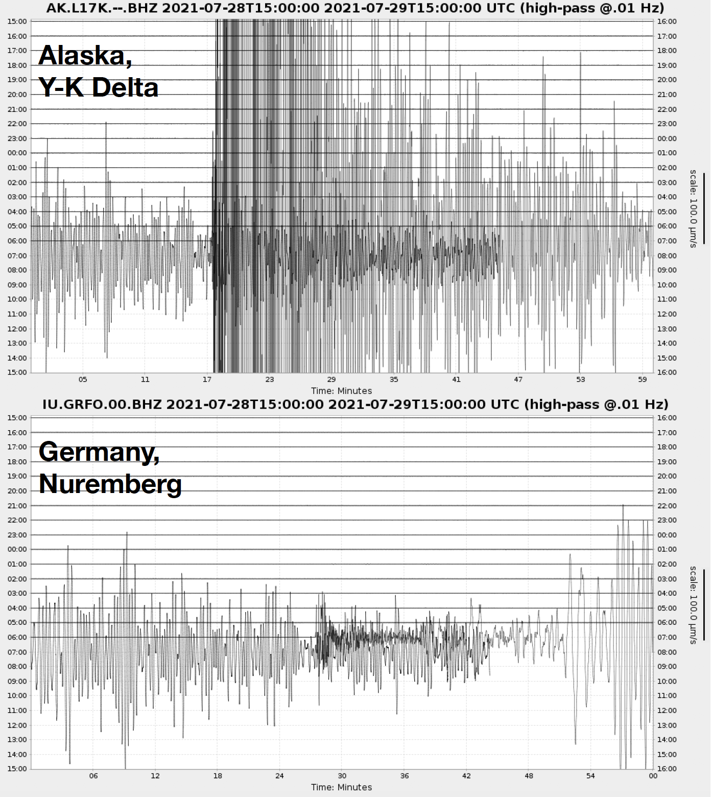


At 10:15pm Alaska time on July 28, 2021 a magnitude 8.2 earthquake struck offshore of the Alaska Peninsula, the largest U.S. earthquake in 50 years. The Chignik Earthquake depth was approximately 28.5 miles, an intermediate-depth earthquake.
The Chignik Earthquake occurred relatively close (about 45 miles) to the location of the M7.8 Simeonof Island Earthquake that ruptured July 21, 2020. The Chignik Earthquake seems to be related to the earlier earthquake; both occurred along the interface between the subducting Pacific and overriding North America plates, although the Chignik Earthquake was the deeper of the two. The Alaska Peninsula is a seismically active region where thousands of earthquakes occur each year. The largest earthquakes are located along the interface, which is called the Aleutian megathrust. The M8.2 event ruptured this interface in the region between the Shumagin Islands to the southwest and Kodiak Island to the northeast. Previously, the 1938 M8.3 earthquake ruptured this section of the interface.
Perryville and Chignik are the nearest communities to the epicenter of the Chignik Earthquake, and felt the highest intensity shaking. There were also multiple felt reports from Alaska communities as far away as the Mat-Su Valley in Southcentral Alaska. So far, the aftershock rate has been active, so residents of the region may continue to feel shaking. The largest aftershock at the time of this article was a M6.1 about four minutes after the mainshock.
Because of the offshore location, the National Tsunami Warning Center issued a tsunami warning for much of coastal Alaska. Several communities issued evacuations. Recorded wave heights were under a foot, however, and the warning was downgraded a couple hours after the event.