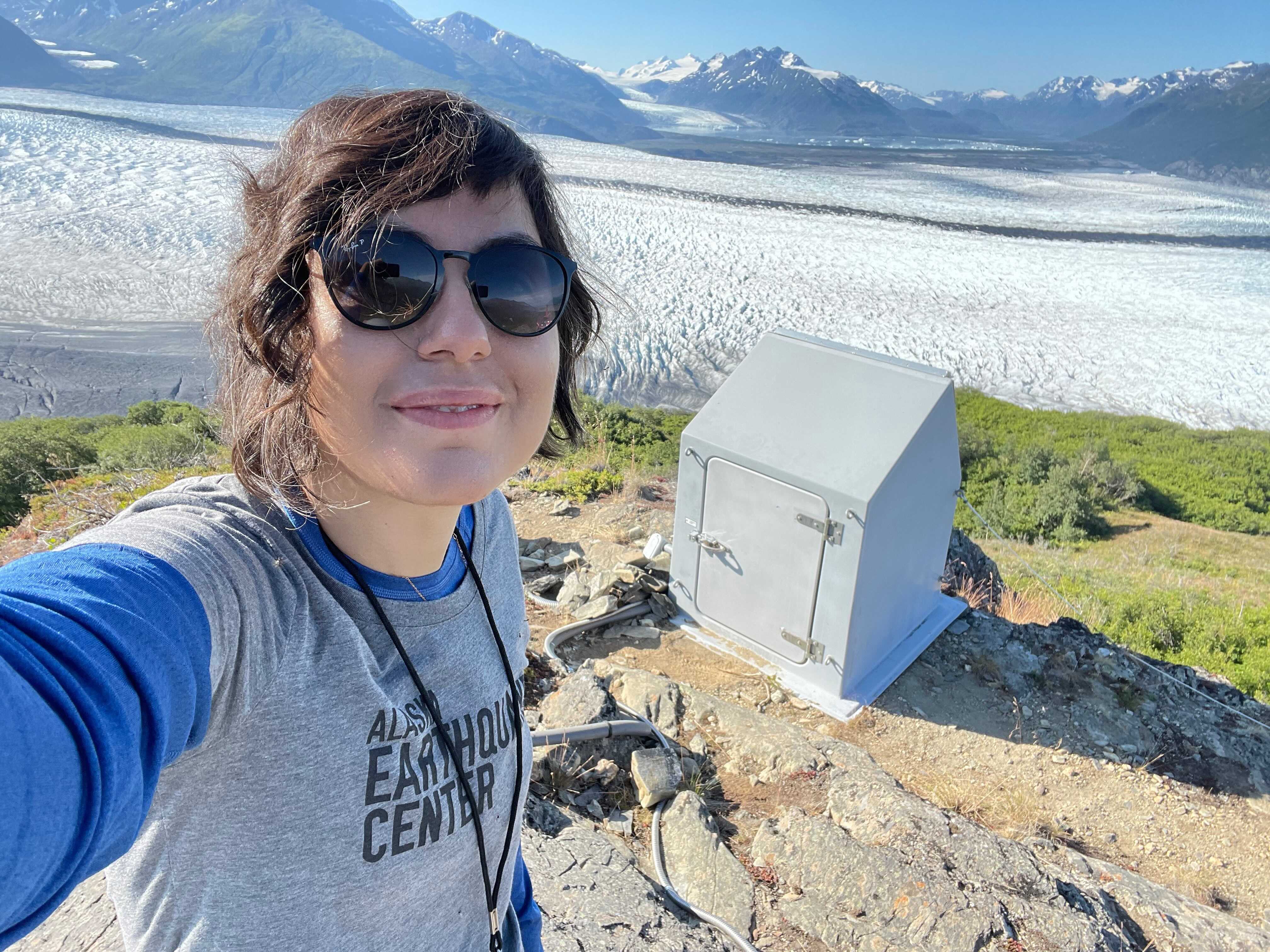
From Mars research to earthquakes in Alaska, postdoctoral researcher Ezgi Karasözen has covered a lot of ground. She received her bachelor’s and master’s degrees in Turkey, then earned a second master’s degree and PhD at the Colorado School of Mines.
At the Earthquake Center, Karasözen’s first project focused on data from four small seismic arrays across Alaska (Figure 1). The arrays were established to detect nuclear test explosions, but the data hadn’t been utilized much for earthquake monitoring. “There was a huge interest in the 1960s when this technology was first developed, but then people lost interest,” Karasözen said. The stations in these arrays are very closely spaced—about 3 miles (5 km) apart—much tighter than other arrays in the state. The grid of former Transportable Array stations, for example, is spaced about 43 miles (70 km) apart.
The benefit of these small, dense arrays is that they can detect the direction a seismic wave is traveling in a manner far superior to a loosely spaced array. “When an earthquake comes, it shows up on several stations in the array. By looking at the timing of wave arrivals we can determine the incoming wave direction in real time,” Karasözen explained (Figure 2).
The July 21, 2020 M7.8 Simeonoff Earthquake provided an opportunity to test this method of using the small arrays. The Earthquake Center recently developed real-time seismic array analysis in house (thanks to Alex Farrell and Matt Gardine), a key component of the project. The seismic array analysis for the Simeonof mainshock revealed that the rupture progression could be tracked from the Eielson array. “We could track the westward rupture of the Simeonof Earthquake, so this [method] could be something useful.” In the early minutes and hours after a large earthquake—when the extent and rupture characteristics remain highly uncertain—these results demonstrate that real-time array data can provide meaningful insights to aid situational awareness. Karasözen presented this work with Farrell, Gardine, and Michael West at the 2020 American Geophysical Union (AGU) fall meeting.
Another product of working with the small arrays was creating a straightforward computer code to remove persistent, human-caused (anthropogenic) noise in these settings. Individual seismic stations and seismic arrays suffer from unwanted seismic noise as a result of inevitable human population growth and development. The noise degrades stations' performance. Karasözen worked with West to develop a computer code that removes the noise while preserving the contents of the seismic signal. They adapted a technique that is widely used for speech recognition to work with seismic signals. "It is a user-friendly code that can be utilized by researchers as well as monitoring communities," said Karasözen.
Next, Karasözen will be working on the Barry Arm project. The potential major landslide in Barry Arm fjord is “a climate-driven hazard because as the glacier retreats, it’s making the slope unstable, which could result in a landslide-triggered tsunami that puts a nearby town at risk,” said Karasözen. “We are looking at ways to utilize seismic data to provide information for coastal landslide monitoring systems on the scale of days to seconds before a catastrophic event.” She spent three days in the field in summer 2021 as part of a team trying to match up observations of landslide and glacier calving activity with seismic signals. The goal is to create a template for both human and computer observers to be able to distinguish between seismic signals for events such as glacier movement and earthquakes.
“Through doing my postdoc work, I’ve found out what type of research I like to do and what I don’t,” said Karasözen. “I really enjoy working on projects that have hazard components, are straightforward to explain to people, and could be beneficial to society.”
If you are interested in more of Ezgi Karasözen’s research, visit her webpage or follow her on Twitter.


