


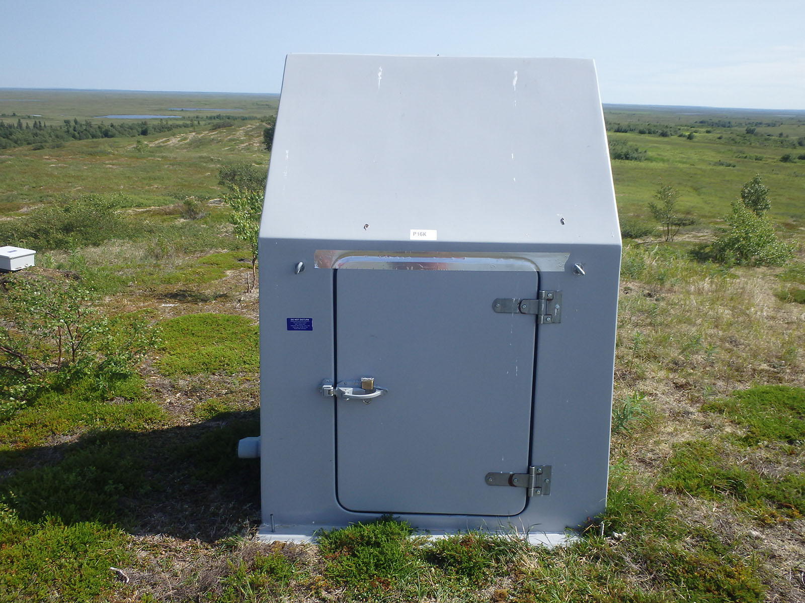
P16K
Nushagak River, AK, USA
Operated by: Alaska Earthquake CenterLatitude: 59.0314 N
Longitude: -157.9906 W
Elevation: 281.8 feet (85.9 meters)
Installed:
Instrumentation at this station includes:
broadband seismometer
strong motion seismometer
meteorological package
Infrasound sensor
Surrounded by kettle ponds and meandering rivers, P16K sits on relatively flat subarctic tundra within the Bristol Bay lowlands. This site is about 18 miles from Dillingham. P16K was acquired in 2019 under dedicated support from our partners at the U.S. Geological Survey to strengthen earthquake monitoring across southern Alaska. The site was originally installed as part of the USArray project. P16K is generously hosted by our partners at the Alaska Department of Natural Resources.
The Last 24-Hours
UTC times are 9 hours ahead of Alaska time (8 hrs during daylight savings). Seismogram view is courtesy of the IRIS Data Management Center. For additional views of this stations data:
4-day seismogramlong-term spectogram
noise PDF viewer