


PS10
TAPS Pump Station 10, AK, USA
Operated by: Alaska Earthquake CenterLatitude: 63.4229 N
Longitude: -145.7684 W
Elevation: 2421.2 feet (738 meters)
Installed: 2007
Instrumentation at this station includes:
broadband seismometer
strong motion seismometer
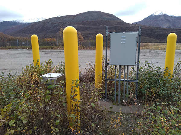
PS10 is located at Pump Station #10 of the Trans-Alaska Pipeline System. This site is squeezed between the Richardson Highway and the Delta River, south of Black Rapids Lodge. Nestled in the narrow Delta River canyon in the Alaska Range, the station lies at the base of Devils Thumb peak. The Black Rapids and Castner glaciers fill nearby valleys. PS10 is part of a long-standing monitoring system for the pipeline. The Earthquake Center operates this system in conjunction with the Alyeska Pipeline Service Company.
The Last 24-Hours
UTC times are 9 hours ahead of Alaska time (8 hrs during daylight savings). Seismogram view is courtesy of the IRIS Data Management Center. For additional views of this stations data:
4-day seismogramlong-term spectogram
noise PDF viewer