
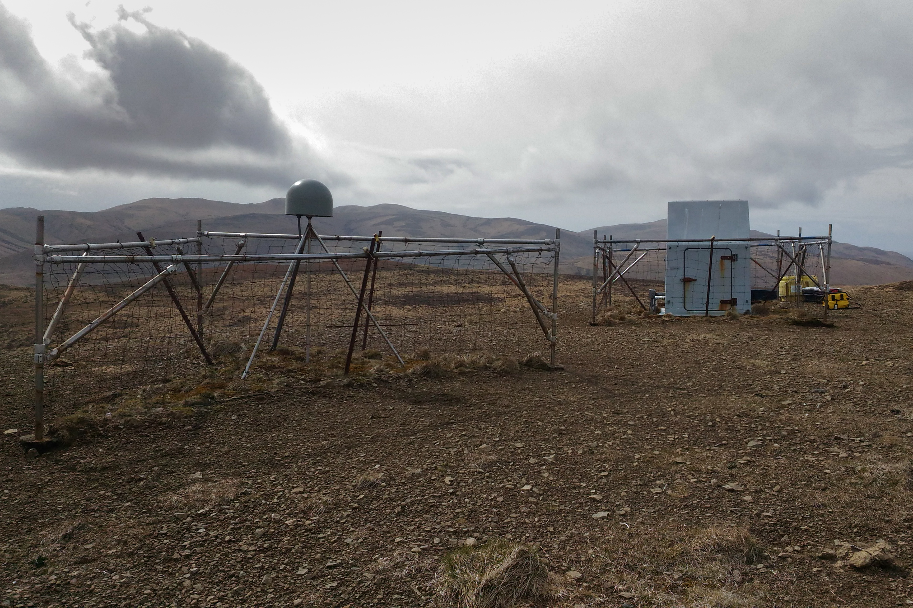


Two of our field crew, blessed with adequate weather, made the 180-mile flight from Kodiak to Chirikof Island last week. Once there, they replaced two aging seismometers, measured battery voltages and radio signal strength, and then checked on the cattle fence. Yes, a seismic station on an uninhabited island in the Gulf of Alaska needs protection from feral cattle.
We keep 80-90% of our sites running through the winter, but the ones that fail die Alaskan deaths—solar panels crushed under yards of snow, radios charred by lightning, cables chewed through by ground squirrels. In 2015 we flew to a station above the Kultieth River to find a bear had ripped the $8,000 datalogger out of the ground and left it lying in a pile of scat.
For our field team, May is the beginning of five intense months of field work. All winter, we monitor our stations from the lab to see which are failing and in what ways. It’s not always obvious. Sometimes a station will appear healthy and then suddenly go dark. But we diagnose problems as best we can, write field plans, book helicopters, and get out there when the weather improves and the days get longer.
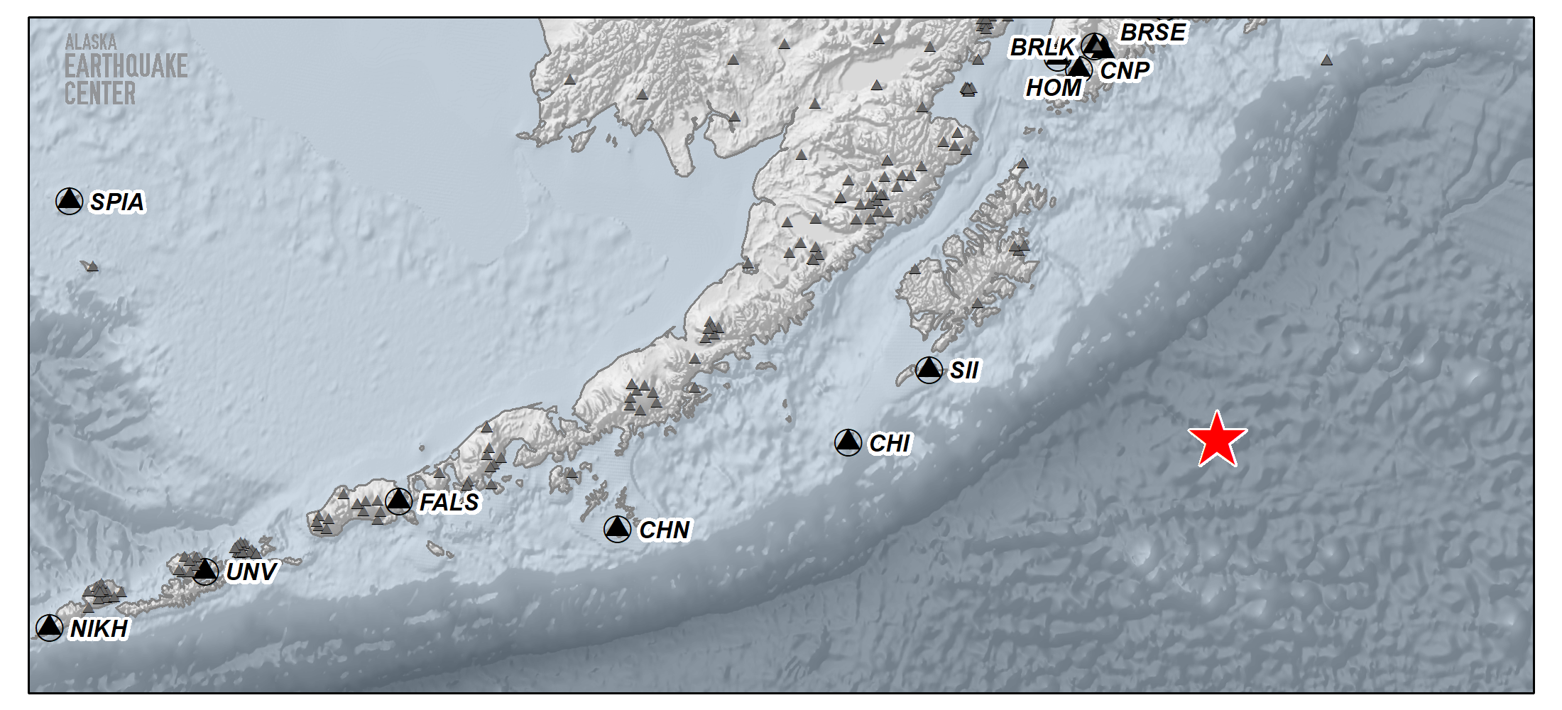
Fieldwork is a mix of majestic landscapes, grunt work, and fussy troubleshooting. Imagine taking an hour-long flight through the Chugach Mountains, humping dozens of 70-lb batteries back and forth to the helicopter, and then reconfiguring an IP network in a hailstorm. It’s grueling but also a privilege. We see parts of the state we never could otherwise. If a place is marked on this map, we go there.
Fixing Chirikof was a good start to the season. Along with its sister site on Sitkinak Island, Chirikof sits far closer to the trench than the seismic stations along the Alaska Peninsula. Because it’s such a high hazard region, Chirikof and Sitkinak both have strong motion seismometers for recording large earthquakes in addition to their far more sensitive broadband sensors. The two stations are critical for recording and characterizing megathrust seismicity near Kodiak Island.
Unfortunately, these have also been two of our hardest stations to keep running. At first, we struggled with power system failures on Chirikof. After we ironed that out, so much ice built up on the radio tower at Sitkinak that a large chunk fell onto our antenna and cracked the enclosure, which then filled up with water. Our antennas are fairly weatherproof, but they’re not submersible.
January's magnitude 7.9 earthquake off Kodiak showed how important it is to find a solution. When the earthquake struck, the Sitkinak radio link was down once again. Data from the islands’ strong motion sensors would have contributed greatly to modeling the quake’s faulting parameters: the extent of the rupture, amount of slip, geometry of the ruptured faults, and the rupture’s time history. Instead, we relied on stations much further away.
This year, our crew found one of the antennas at Sitkinak smashed yet again, though still barely working. They installed a heavy shield above it to deflect the ice. Please check back here next winter to see if that does the trick.
We’ll have field stories throughout the summer to keep you updated on our progress. We have upcoming campaigns based out of McCarthy and Valdez, as well as drilling projects in Fairbanks and elsewhere to improve data quality by installing seismometers deeper underground. We’ll also have a piece on the nuts and bolts of network operations: how we get the data in real time, how we monitor station health, and how we measure data quality. Watch this space.