
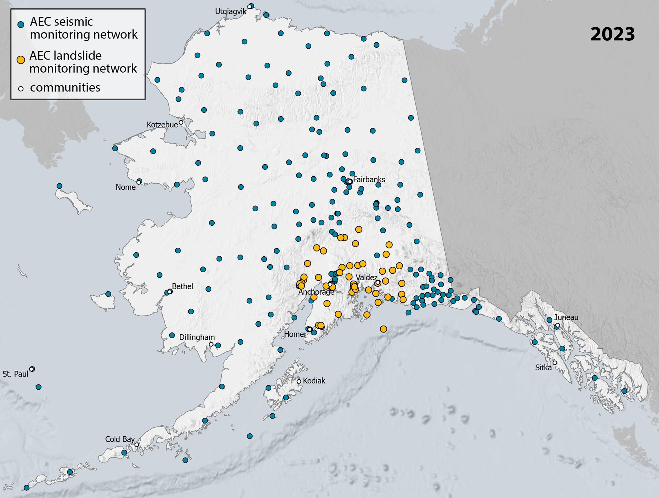
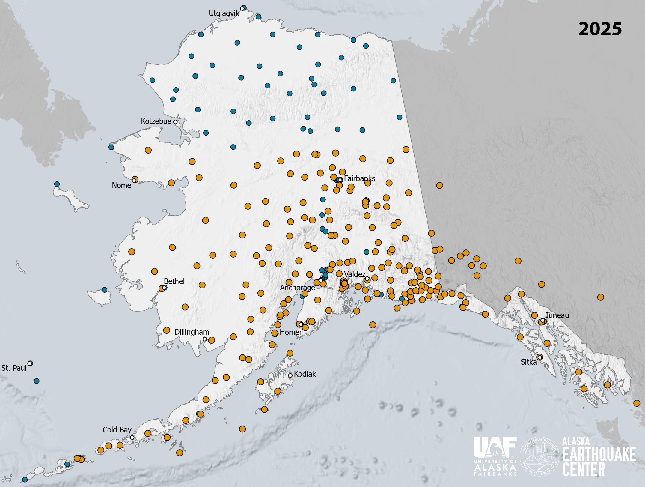




July marks the anniversary of Alaska’s most notorious landslide, Lituya Bay (1958), which generated a devastating tsunami. A significant number of landslides that have also resulted in tsunamis in Alaska’s documented history have been between July and October, when steep coastal slopes are particularly vulnerable to failure. It is also when the most people are out enjoying Alaska’s incredible coastal resources, and knowledge of this potential paired hazard is imperative to keeping people safe.
The Alaska Earthquake Center has produced an interactive ArcGIS StoryMap to describe what we know about Alaska’s significant coastal landslides, and the ongoing efforts to monitor unstable slopes. Since 2023, the Earthquake Center has continuously monitored for large landslides using its statewide seismic network, with coverage extending from Denali National Park through much of coastal Alaska. Rapid awareness of slope failure can help Alaska’s coastal communities prepare for the possibility of a tsunami generated in its wake.
We partner with a variety of federal, state, and local organizations aimed at mitigation and rapid response to landslide and tsunami hazards. Each agency plays a different role. For example, the U.S. Geological Survey conducts much of the remote sensing, analyzing satellite and aerial imagery to document both steady and rapid slope movements. The Alaska Division of Geological and Geophysical Surveys is instrumental in hazard analyses and aerial surveys, and recently published a comprehensive map of regions susceptible to deep-seated landslides.
These efforts, and more, are captured in the interactive multimedia StoryMap here.
Additional Resources
The Case for a Landslide Monitoring Program
Major Landslide in Southeast Alaska Fjord
What it Takes to Catch a Landslide in Alaska
New Detection Method Aims to Warn of Landslide Tsunamis
Waiting to Fail (Tracy Arm Landslide StoryMap)