




2002 M7.9 Denali Fault Earthquake
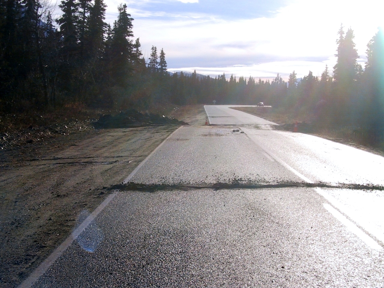
This event caused significant damage to the transportation systems in central Alaska. The Denali Fault ruptured across the Richardson Highway and caused a horizontal offset of nearly 20 feet.
The Trans-Alaska Pipeline suffered some minor damage, however spilled no oil.
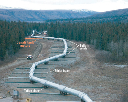
USGS photo
Multiple landslides and rock avalanches occurred in the Alaska Range with the largest slide occurring on the Black Rapids Glacier.
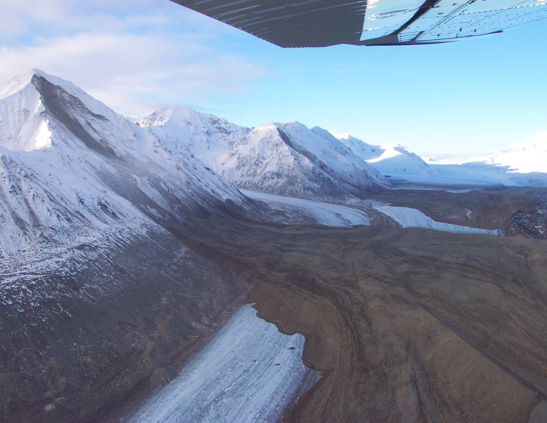
USGS photo
This event was felt widely across Alaska and as far away as Washington. The hardest hit population centers were the villages of Mentasta and Northway, located at the eastern end of the rupture zone.
The Denali Fault event caused seiches in pools and lakes as far as Texas and Louisiana. There were reports of triggered seismicity in volcanic and geothermal centers in Washington and California and regional seismicity in Utah.