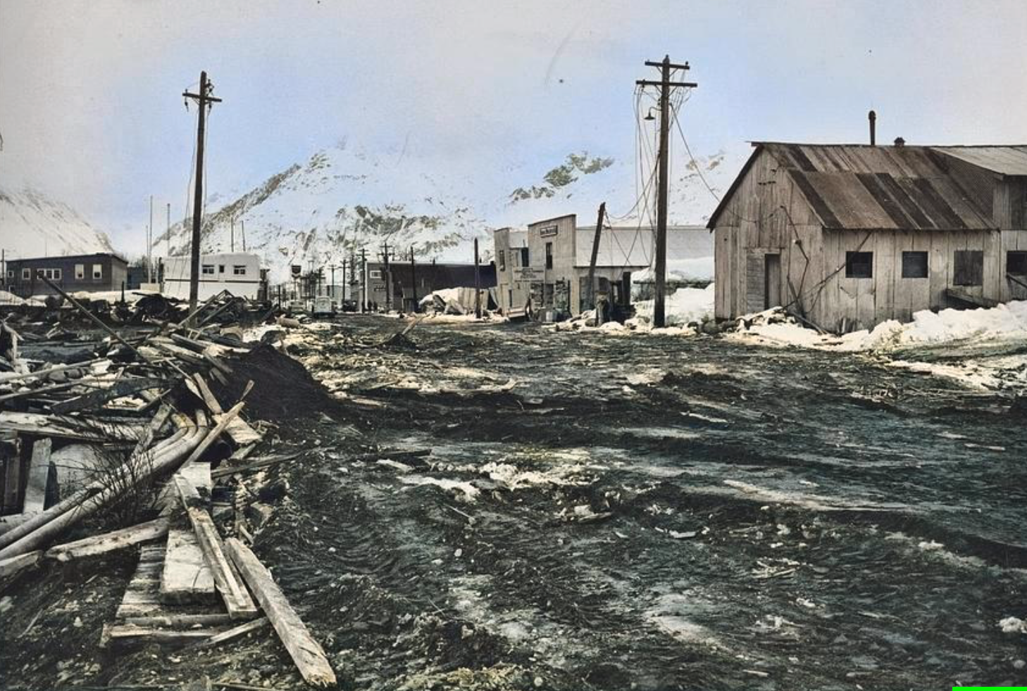
A few years ago, my husband and I sat in near-standstill traffic on Homer Spit Rd., anxiously watching the clock approach our boat tour departure time. As I fretted over trying to get onto the spit, it dawned on me that getting off the spit was a far more worrisome scenario. Homer, like so many other coastal Alaska communities, faces the risk of tsunamis generated either by a powerful earthquake or by landslides that can happen above or under the water.
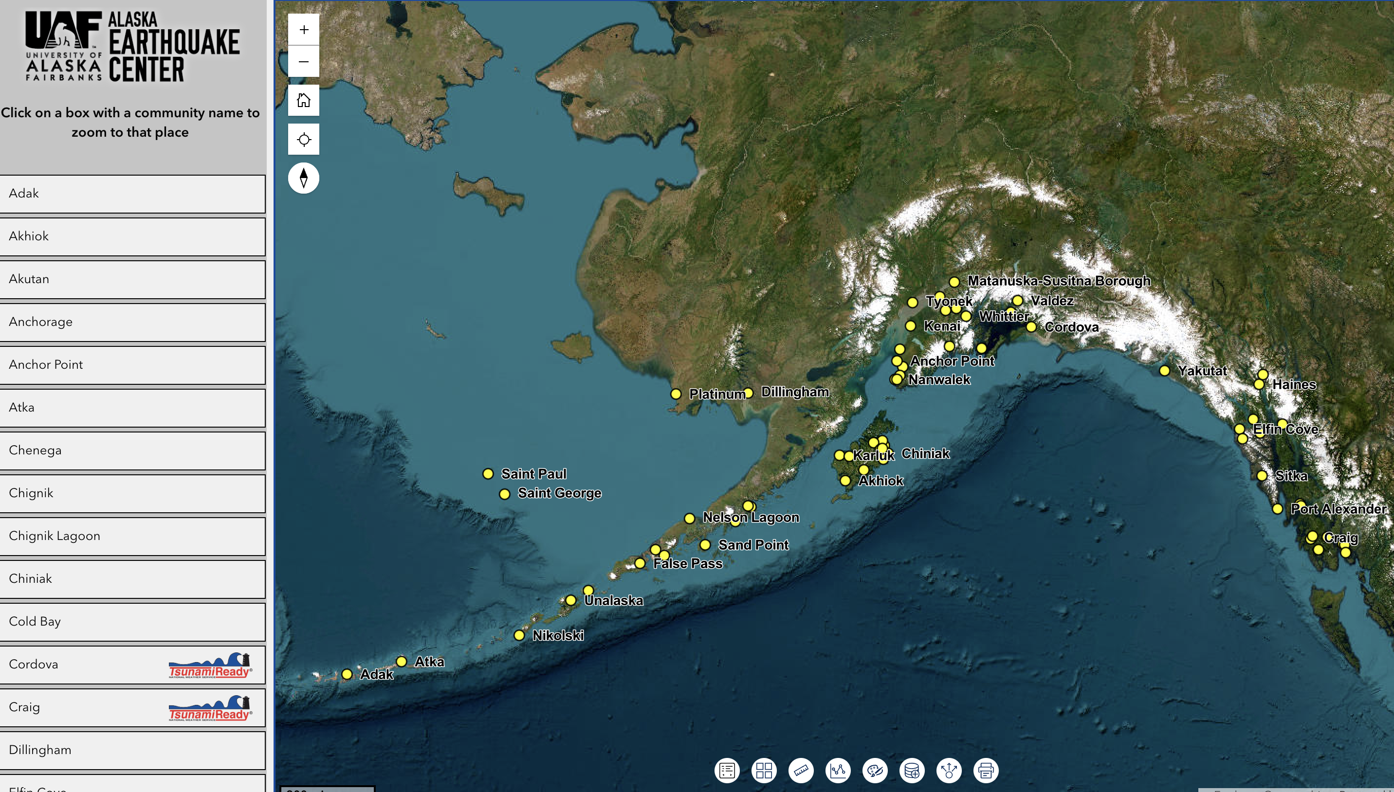
I’m a tsunami scientist with the *Alaska Earthquake Center, and I’ve spent the past few decades of my career modeling realistic scenarios of tsunamis generated by earthquakes and landslides. We just launched a new, interactive tsunami map app that displays the tsunami hazard zone for each of 66 coastal Alaska communities. It shows what still needs to be done as much as it demonstrates what we have accomplished so far.
When you browse the new map tool, you will see that only 13 communities have met TsunamiReady requirements, a National Weather Service designation for a local government, tribe, or facility that has completed five preparedness steps.
Many of the 66 communities for whom we have mapped the potential flooding level lack community evacuation lines and community-designated assembly points. Having worked with emergency officials in most of these communities, I know that some communities take their hazard more seriously than others.
Some tsunami-vulnerable communities in Alaska still have no estimates of tsunami impacts. To create a model, my colleagues and I rely on high-resolution topography and bathymetry data that show how steep the coastal cliffsides and underwater slopes are. Every new catastrophic earthquake that generates a tsunami somewhere in the world gives us more information on how the seafloor can buckle, rupture, and shove a wall of water across the ocean. We integrate all of this into computer models that show how waves will move onshore depending on each community’s unique geography and geology.
Over the decades, and in collaboration with the Alaska Division of Geological and Geophysical Surveys and the Alaska Division of Homeland Security and Emergency Management, we have generated and distributed maps, reports, brochures, and more; trained emergency responders; met with community planners; spent time in schools and town halls; and much, much more.
All the products generated by this work—funded over the years by the National Tsunami Hazard Mitigation Program, NOAA's Cooperative Institute program, and the Office of the Alaska State Seismologist—are now available in one spot. Work to assemble the new map app was funded by FEMA, and the app was developed with help from GINA, the Geographic Information Network of Alaska.
In the aftermath of the recent Nepal flood, scientists scrambled to map the affected areas in Nepal. We have maps for Alaska that show where flooding will occur in the eventuality of a tsunami, available to anyone who lives in or visits a tsunami-prone coastal Alaska community. They should save lives and emergency response time. I hope that this new tool will inspire local leaders to bring their coastal community to tsunami readiness. Exploretsunami.alaska.edu to learn more and be prepared.
*While the Alaska Earthquake Center contributes greatly to tsunami information and preparedness in coastal Alaska, the National Tsunami Warning Center is responsible for issuing tsunami alerts.
Related stories
Alaska Science Forum: Mapping tsunamis, building trust
Geophysical Institute News: New interactive Alaska tsunami hazard map helps communities prepare